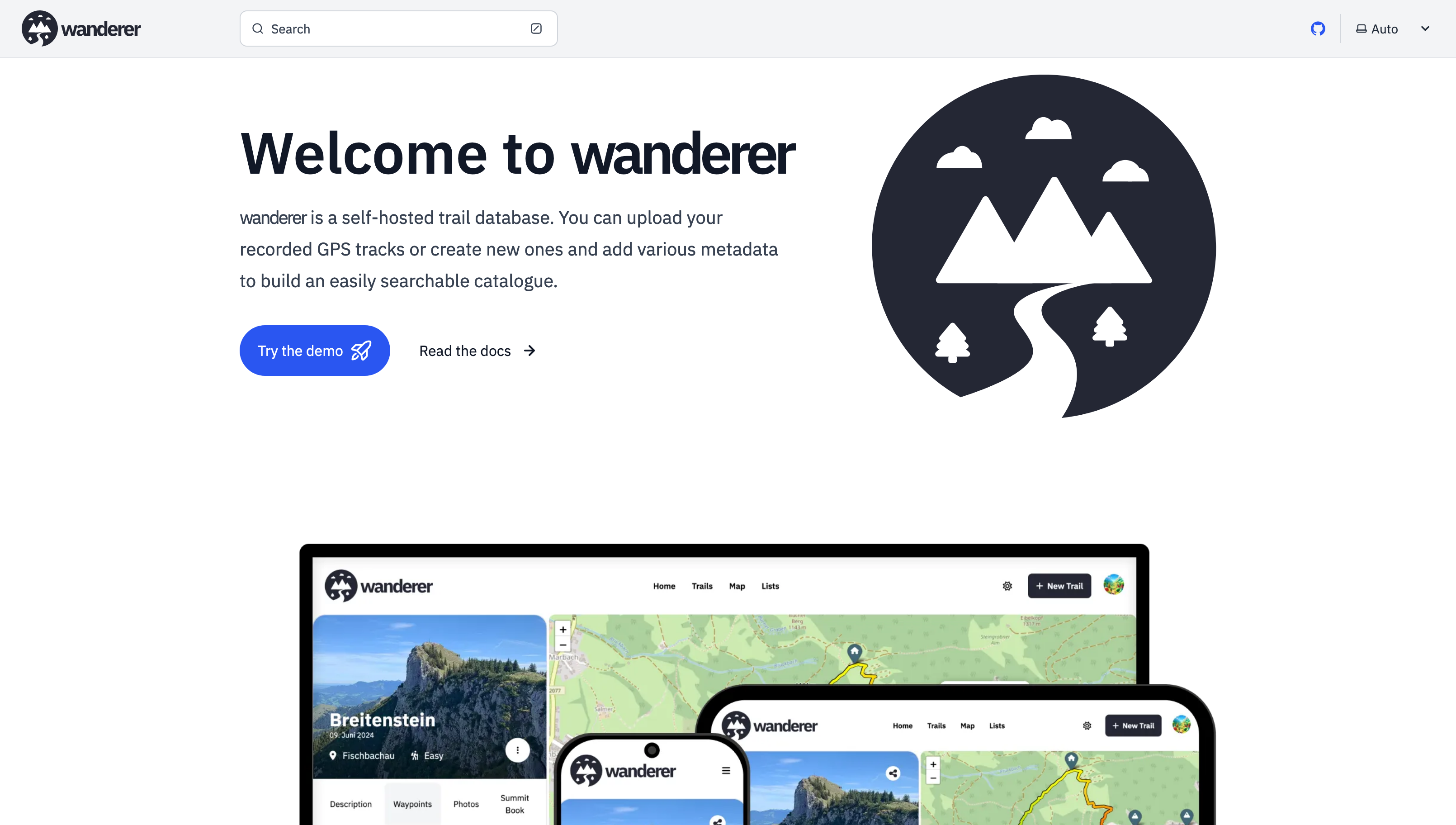
I updated wanderer (v0.6.1) - a self-hosted trail and GPS track database

With docker you can simply change the port mapping in the compose file
Thanks for promoting wanderer! Finding trails on the map should be no problem, you can currently mark trails as public so that not logged-in users can see the trail. I have thought of steering wanderer towards a more socially interactive platform. I think a good first step would be to allow comments and implement a rating system.
Thanks for the crowdsourced translation website. I was looking for something like this. I will set it up and add it to the contributing section of the documentation.
I'm not sure if I understand your question correctly. Do you mean creating a trail from scratch on the map without recording it before? That is indeed on my roadmap.
Logging trips offline requires background location services. This does not work for a simple website. You would need to program an app for that. While this is a plan somewhere down the line, it's still far away. So currently I would recommend relying on an external app to log your trip and import afterwards.
You can also install it directly on your machine: https://github.com/Flomp/wanderer/wiki/Installation#from-source
It's just much more tedious imo.
I see. I'm unfamiliar with the protocol, but sharing trails is definitely on the roadmap. So I will look into it!
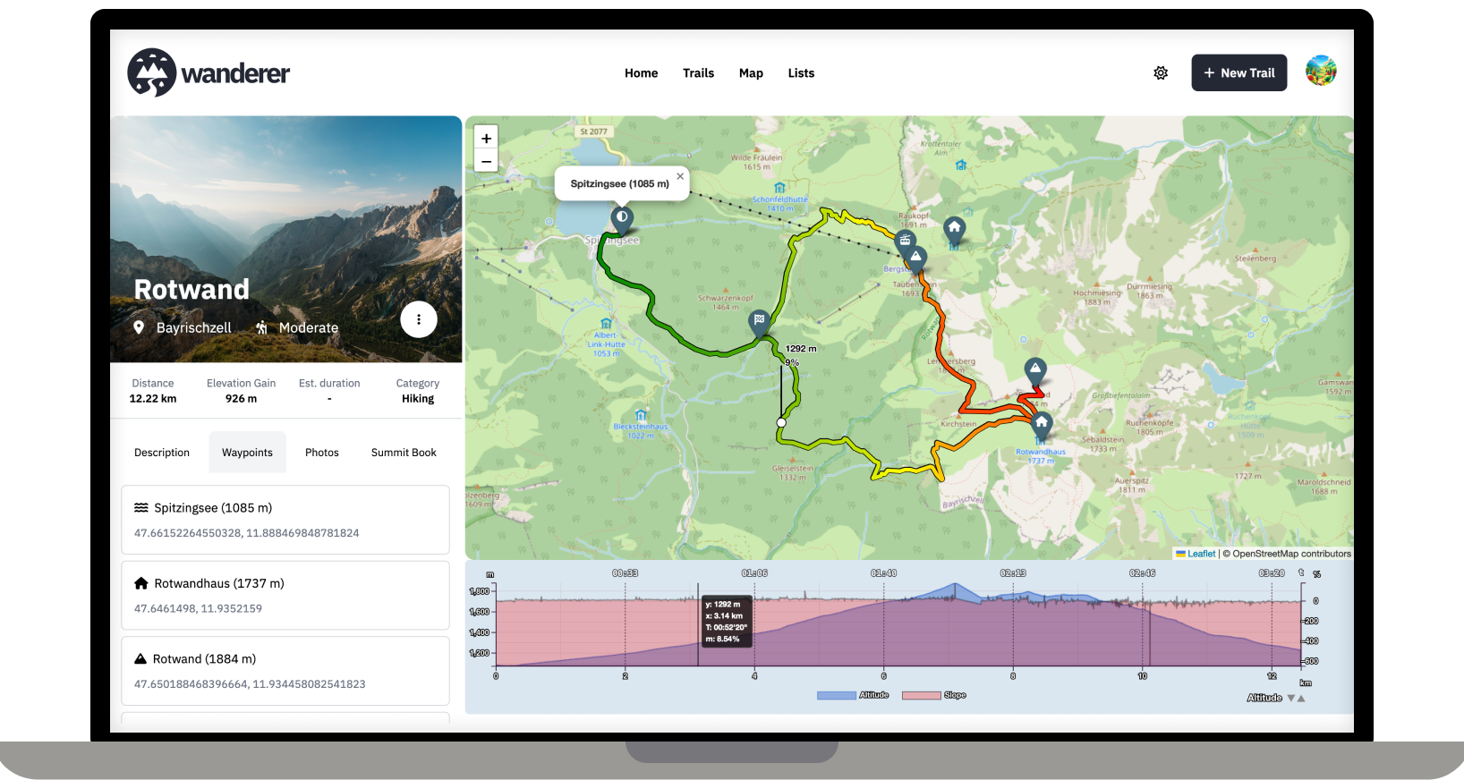
wanderer currently parses distance, elevation gain, duration and speed. Parsing heart rate would be an easy addition, though.
Absolutely. I have it running on a Pi 5 and that's more than enough. You only need 1GB of RAM when first starting wanderer. After that it sits at around 100Mb.
Happy to help. If you can get a dump of the database it should be quite easy to import it into wanderer via the API 👍
Speed statistics were added in v0.2.0. Hopefully also with some bugfixes.
Absolutely all help is welcome. Please check out the roadmap for my current plans. I'd be delighted if you could add your Dutch translation here: https://translate.codeberg.org/projects/wanderer/wanderer/nl/
Dank je wel!
I don't know the app. But on the linked page it says it supports GPX and KML. Both of which wanderer supports.
You can use whatever device you prefer. In the end, you simply need a GPX file that you upload through the web UI or the API. I am planning to support other formats like KML soon, though.
System requirements should be quite low. On the first startup you will need ~1GB of RAM. After that, the whole stack sits at around 100MB on my machine.
Offering print support for trails is high on the priority list.
That's strange, I never had that happen. If you have the time could you please open an issue on GitHub?
Exactly! As long as you have the track in a GPX, TCX or KML file, you are good to go.
You can also plan your route directly on wanderer (so you don't fall off another cliff ;))
Thanks! No this is an extremely low spec server: 2GB RAM and 2 virtual cores.
Happy that you got it working. What exactly does not work with the photos? Fell free to open a GitHub issue, if that's easier.
Currently wanderer supports visualising duration, distance, elevation gain and speed. Support for heart rate is planned. It can display a graph (the one you see in the screenshot) and also calculates an average.
Or use the demo ;)
Ah yes, sorry, the upload is currently capped at 5MB. You can change that limit in the PocketBase backend. I will add a guide to the docs.
I really love working with PocketBase. It gives you such a headstart, but also is highly customizable. It's really the best of both worlds.
I think you might misunderstand what wanderer does. It is not a maps service like Open Street Maps. It's simply a database in which you can store your GPS tracks. So the workflow would look like this: you are in the woods and record your track (e.g. with osmand) -> you store your track in GPX format -> you upload your track (and any additional info like a description or photos) to wanderer -> before your next adventure you check wanderer to decide what you want to do